

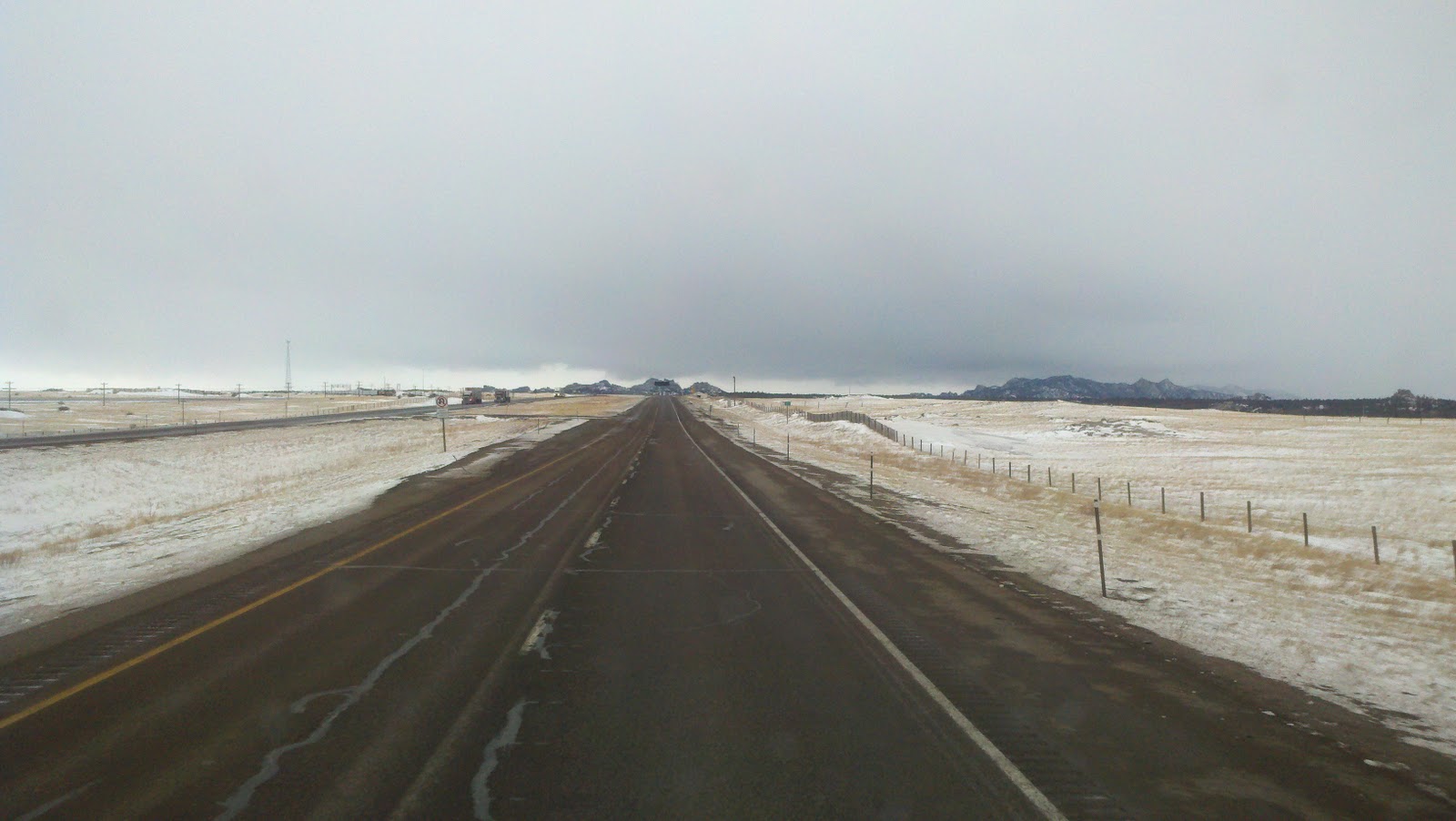
It got a bit better when I finally got to I-25. But then I had to go over the mountain at the New Mexico / Colorado border. This is what it was like going up and down. The photo was taken on the way down in Colorado. Want to give it a try???

The roads improved a lot after I got down the mountain for a little while then the wind picked up. Here is a brief video of I-25 in Southern Colorado:
Drove through Denver again. Here is the Denver skyline.

And another of Mile High Stadium.

As soon as I got in Wyoming the wind picked up. 40+ mile an hour cross wind. At least there was not much blowing snow this time. Then I turned west on I-80. Now the wind was a head wind. Slowed the truck down a lot. Then the sky continued to get dark and then snow flurries.
Stopped for the night at the Petro in Laramie, WY. Checked the National Weather Service web site. Here is part of the advisory for this area:
WINTER STORM WARNING REMAINS IN EFFECT UNTIL 11 AM MST
TUESDAY...
A WINTER STORM WARNING REMAINS IN EFFECT UNTIL 11 AM MST TUESDAY.
* TIMING...SNOW WILL DEVELOP ACROSS THE AREA THIS AFTERNOON AND
WILL INCREASE IN INTENSITY TONIGHT. THE SNOW WILL BE HEAVY AT
TIMES.
* TOTAL SNOW ACCUMULATIONS...TOTAL SNOW ACCUMULATIONS WILL BE
FROM 6 TO 8 INCHES IN THE VALLEYS AND ELEVATIONS BELOW 7500
FEET WITH 12 TO 16 INCHES ABOVE 7500 FEET BY LATE TUESDAY
MORNING. LOCALLY HIGHER AMOUNTS ARE POSSIBLE.
* WINDS/VISIBILITIES...NORTHERLY WINDS WILL BECOME NORTHEASTERLY
AT 15 TO 25 MPH SUSTAINED WITH GUSTS TO 35 MPH. THE WINDS WILL
DECREASE AFTER MIDNIGHT. THE STRONG WINDS WILL PRODUCE AREAS OF
BLOWING AND DRIFTING SNOW LATE THIS AFTERNOON THROUGH THE
EVENING.
I am right about 7,500 feet. It could get very interesting tomorrow. Stay tuned.....
No comments:
Post a Comment